Geodetic Surveys are conducted for various end uses, such as, route alignments, laying of transmission line and pipeline, 2D/3D seismic exploration, and so on. Some of the geodetic survey services offered by the Company are:
- Route Alignment Survey: It is conducted for proposed routes of transportation and communication, such as transmission lines, pipelines and tunnels. At least three alternative route alignments are surveyed, out of which one is selected as the most optimum alignment.
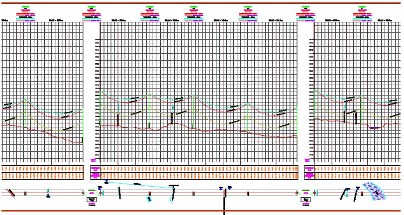
- Detailed Route Survey: It is conducted using modern survey techniques for the optimum route alignment selected. Route marking and profiling is done using total station / DGPS and reference levels are recorded along the route. The complete profiling details are digitized and computer aided tower spotting is carried out.
- Engineering Design: Profiling and Tower Spotting are carried out using PLS-CADD software.
- Construction Survey: Examples of construction surveys are highway pre-construction, construction and post – construction surveys
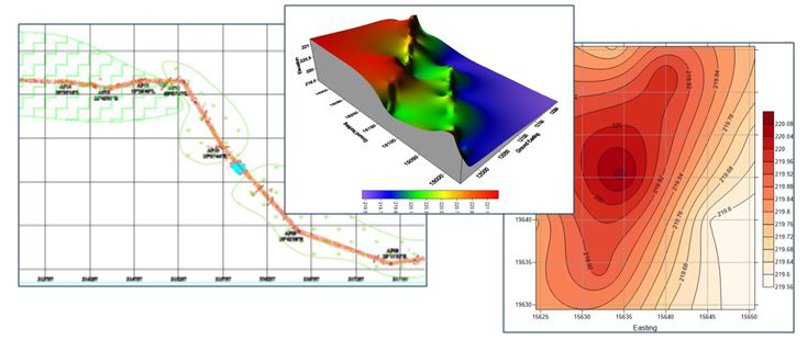
- Topographic Survey: It is conducted for various geological and geophysical exploration surveys such as 2D/3D Seismic surveys, Gravity surveys, geological mapping, etc• Contour Survey:It is conducted for land and water bodies
- Transmission Line Survey GGPL is among quality services providers for transmission line survey companies in India and abroad.